
.svg)
Forest Carbon
Monitoring with calibrated Sky & Ground Truthing
Our Innovative features:
 Professional GIS Platform
 Satellite-Verified Monitoring
 Community-Powered Data
 Regulatory Compliance
 Invite-Only Authentication

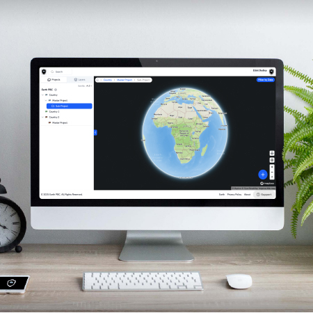
Platform Overview
How It Works
Real-time forest monitoring for supply chain compliance
Why Sky + Ground Truth
The Complete Picture Others Can't Provide
Satellites see the canopy. Communities know the forest. Together, they create defensible, actionable monitoring.
Space
Beyond Satellite-Only Limitations
✓ Verify understory changes invisible from space
✓ Confirm selective logging and degradation
✓ Validate community forest management
✓ Provide enforcement mechanism for violations
Earth
Beyond Ground-Only Constraints
✓ Scale to millions of hectares quarterly
✓ Reduce costs by 90% vs traditional surveys
✓ Maintain continuous monitoring coverage
✓ Establish historical baselines back to 2013
How It Works
Three Steps to Complete Forest Monitoring
From satellite detection to community verification to audit-ready reporting
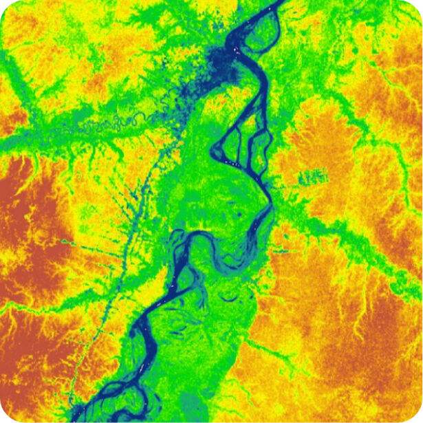
Satellite Monitoring
Planet Labs' 200+ satellites capture your forest areas every quarter at 3m resolution
• Canopy height changes
• Forest cover percentage
• Carbon density (MgC/ha)
• 90% prediction intervals
Ground Truth Verification
Community networks validate satellite detections with on-ground observations
• Smartphone app reporting
• GPS-tagged photos
• Offline capability
• Trust network validation
Compliance Reporting
AI-powered reports meet EUDR, CSDD, and carbon credit verification standards
• Audit-ready documentation
• Chain of custody tracking
• Regulatory templates
• API integration
Platform Capabilities
Enterprise-Grade Features for Every Stakeholder
Direct access to 200+ satellites providing daily global coverage with industry-leading 3m resolution
Smartphone apps work offline in remote forests, syncing data when connectivity returns
Invite-only access with vouching-based authentication ensures data quality and prevents fraud
Automated compliance reports meet EUDR, CSDD, and carbon credit verification requirements
Data sovereignty ensures communities own and control their monitoring data
Establish baselines back to 2013 with 30m resolution archives for carbon accounting
People Power Global Change
© 2026 Earth PBC. All rights reserved.